01 October 2026 | The Kia Oval, London
01 October 2026 | The Kia Oval, London

Ground Engineering is excited for the returning Geotech 2026, the leading conference and awards dedicated to driving the technical solutions, innovation and technology in geotechnical design, construction, and asset management.
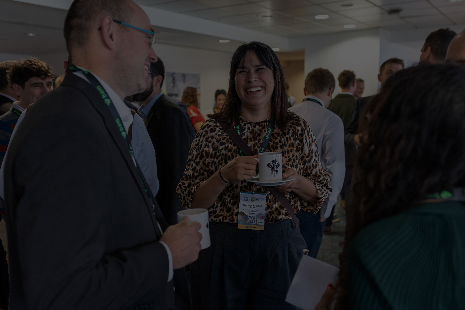
Bringing together industry leaders, experts, and forward-thinking professionals, Geotech fosters collaboration, discussion, and knowledge-sharing to shape the future of ground engineering.
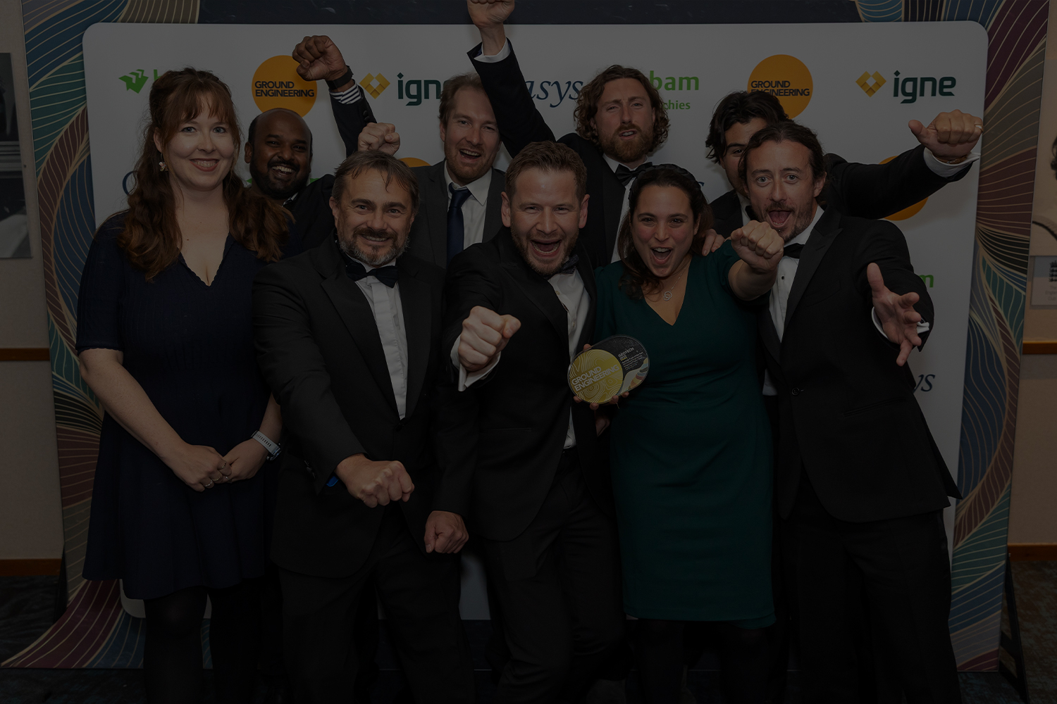
Across the day delegates will have the opportunity to engage with cutting-edge content across three dedicated event stages, each showcasing the latest advancements and technical solutions transforming construction, infrastructure, and asset management. During the evening the awards celebrates the very best solutions, people and projects the sector has to offer driving innovation or technology within the sector.
Whether you’re looking to explore new technologies, enhance efficiency, or gain insights from real-world case studies, Geotech 2026 is the must-attend event for those driving progress in the geotechnical sector.
The deadline for entries is 8th May 2026 – Enter today
We are excited to launch our call for abstracts and are seeking the most groundbreaking projects, case studies, and solutions from across the geotechnical sector. Whether it’s innovation in design, smart engineering in construction, or advancements in asset management, we want to showcase the ideas shaping the future of geotechnics. Submit your abstract and be part of the conversation driving progress across the industry.
Selected abstracts will be invited to present at the Geotech event on 01 October 2026.
Deadline for abstracts submission: 28 March 2026

Partnership with Geotech offers you great opportunities to engage with clients, contractors and the wider supply chain from geotechnics to access:
To discover more about our sponsorship packages and align your organisation with our flagship event on innovation and technology, please contact:
Ben Davidson
+44 (0)20 3953 2766
Ben.Davidson@emap.com